

By Susan Hollingsworth
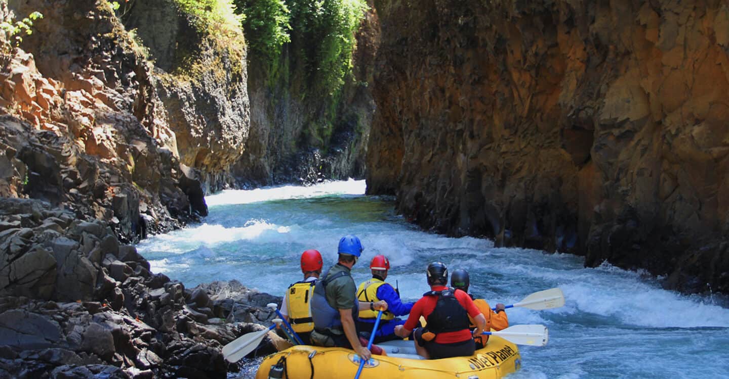
For the past four months, the deep and rugged lower gorge of the White Salmon River has sat behind a veil. Video of the explosive breach of Condit Dam and the dramatic draining of Northwestern Lake back in October has continued to stir the interest of a national audience. Other than Andy Maser’s timelapse photos, only deconstruction crews and a handful of cabin owners have seen evidence of the restoration progress within the canyon since that day.
While we may not see it, PacifiCorp has been busy on the White Salmon River.
The power company recently released an updated assessment report that addresses the remaining sediment sitting above the dam. Also included are diagrams for the new boater take-out at Northwestern Lake. Using these reports and the comments of PacifiCorp employees, we can lift the veil enough to get a taste of the restoration action on the White Salmon River.
Watching Mudslides
 Since this method of dam removal had never been done before, extensive monitoring has taken place within the former Northwestern Lake reservoir. PacifiCorp has used both LiDAR, a form of aerial radar to map topography, as well as photo documentation from up to twelve locations to assess the amount of erosion that has taken place throughout the winter.
From this, PacifiCorp estimates that 921,000 cubic yards of sediment remains in the canyon. Back before the breach, initial predictions expected more erosion to have taken place by now, leaving only as much as 700,000 cubic yards.
This amount may be greater due to less precipitation (the most powerful form of erosion in the canyon), or may be due to the position of the sediment upon the bedrock below. Regardless of why there is still so much there, something has to be done with all that mud. Leaving massive slabs of sediment in place could pose a threat to visitors and future rafting or kayak trips on the White Salmon River. Sediment slipping into the river continuously can also have a negative effect on water quality and salmon habitat.
Upstream Surprises
 In addition to eleven cameras positioned throughout the White Salmon River corridor within the former reservoir prior to breach, a twelfth camera had to be placed upstream of the Northwestern Lake Bridge on November 10th, 2011, fifteen days after breach.
By that time, the river had already cut up to four feet into the sediment along a portion of the river not expected to see much downcutting at all. By the end of the month, the river here had dropped an incredible fifteen feet below the former reservoir line.
In addition, the small tributary Buck Creek is experiencing serious – and slightly scary – erosion. Beginner kayak course students knew Buck Creek well, as these first-time clinics used the eddy formed by the confluence of Buck Creek and the White Salmon for their first peel-outs.
Now, Buck Creek has also cut nearly fifteen feet into the ground, leaving several cabins precariously perched on the new cliff wall. PacifiCorp has ordered several cabin owners to remove decks and other structures for safety purposes.
Building Canyon Walls
According to the 401 Water Quality Certification, PacifiCorp must stabilize the remaining sediment as described in their management plan. This means stabilizing the big mud walls by re-contouring and compacting them to insure the safety of visitors and good water quality. Most of this will be done by grading.
Grading plans for the White Salmon River include:
- Shaping small valleys for tributaries to flow through, keeping their banks in place.
- Stabilizing exposed soil with vegetation to prevent erosion.
- Leaving bedrock untouched and pre-reservoir stumps in place.
- Revegetating on floodplains next to tributary drainages and low benches next to river for woody riparian vegetation.
- Revegetating to capture and manage runoff in existing wetlands or where wetlands might be established.
- Using bulldozers to compact the soil and help prevent further erosion.
Images below are from the 120 Day Post-Reservoir Dewatering Assessment Report. Blue areas depict sites where grading will be used to manage sediment. The first diagram is of the dam and the last of Northwestern Lake Park.


Ensuring a Rafting and Kayak Access Point
 Even when faced with unpredictable challenges (such as having 200,000 cubic yards more sediment than expected and seeing the river drop even lower above Northwestern Lake Bridge), PacifiCorp has kept to their original deconstruction schedule for Condit Dam thus far.
The now fast-flowing river far below Northwestern Lake Park has made local rafters and kayakers curious as to how they will get out of the river during the busy spring and summer season.
 While the permanent take-out will not be completed until mid-summer, PacifiCorp will create a temporary take-out to allow recreation access during the early season. The temporary take-out will be located downstream of the former boat ramp and lead downstream to the river. This access point will be left in place for fishermen and as a last-chance eddy for boaters.
The permanent take-out, as seen in the zoomed-in image above, will start at the old concrete boat ramp and lead upstream toward the west bridge abutment.
Your Chance to See The New River
Now for the question on everyone’s mind, “When will I get to see the new stretch of river?”
If everything goes as planned, as it already has, PacifiCorp predicts the river to open in September, 2012. Until then, there are several opportunities to get a more intimate view of the action.
Stay tuned for our updates about this year’s White Salmon River Fest and Symposium on June 9th. Activities and speakers are coming together to provide you even more juicy news on the fish, recreation and changes within the new White Salmon River. There will also be much to celebrate in September when Condit Dam is fully removed, updates to come!
by Susan Hollingsworth