

Cool! Scientific stuff! Wet Planet had recently had the amazing opportunity to assist in the mapping of the White Salmon River bottom in and around Northwestern Lake. Accurate maps of the ever evolving river bottom is critical information to those companies who will be replacing a number of key service pipelines, including natural gas and water, currently buried deep in the northwestern lake river bottom. The mapping was ordered by Pacific Corp, owners of Condit dam, the company responsible for the decision to remove Condit dam and restore the White Salmon River to its natural state. The dam removal is tentatively scheduled for the winter of 2009.
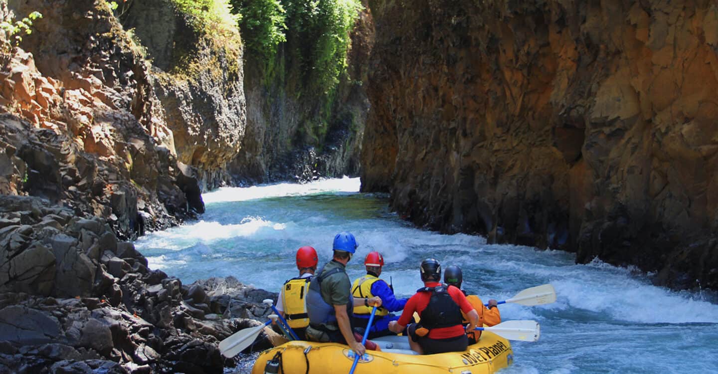
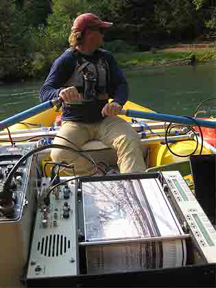
The mapping process itself is quite complicated requiring numerous gadgets, probes, sensors, and machines… I realize this technical jargon is somewhat confusing but try and stay with me here. The day began early, loading equipment of seemingly every shape and size into the tiny Wet Planet oar boat. The plan was to row down river from Rattlesnake put in, just 100 yards or so downstream of fearsome Husum Falls, and locate the first of two pipelines buried deep in the river bottom using GPS coordinates. It was one of those typical fall mornings in the Pacific Northwest. Cold and gray, but that didn’t deter the team of Dick and Kyle, two Geologists who had come down from the Tacoma area in an effort to complete the project. The scientists aboard for this adventure were Dick, a world-renowned Geologist, has lived and worked in nearly every corner of the globe and Kyle, a twenty-something recent graduate student with a mid-western sensibility and a taste for hoppy northwestern beers. Both appear to be experts in their fields.
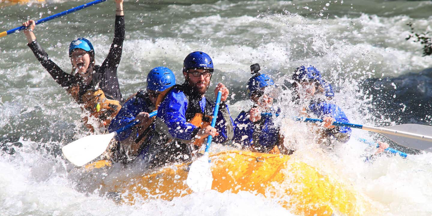
We put in, and proceeded downstream, eventually locating our mapping sites using GPS coordinates. The weather was iffy at the start of the day, but eventually took a turn for the better, and before we knew it we were all basking in a rare bit of early fall sunshine. The boys began their scientist stuff while I rowed them back and forth across the lake in a zig-zag pattern. Like 100 times! Whew! What a workout but well worth the effort.
At the end of the day, both Dick and Kyle were able to capture the images they were looking for using sonar and radar and I was heading home; sore but happy having learned quite a bit about the process of mapping.
All in all, a terriffic day with a couple of great guys!
Drew Parker – Wet Planet guide
– Jaco @ 12:03 PM