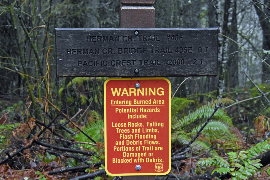
Photo of a burn area hazards sign from photographer John Carr hiking up the east side of Herman Creek.
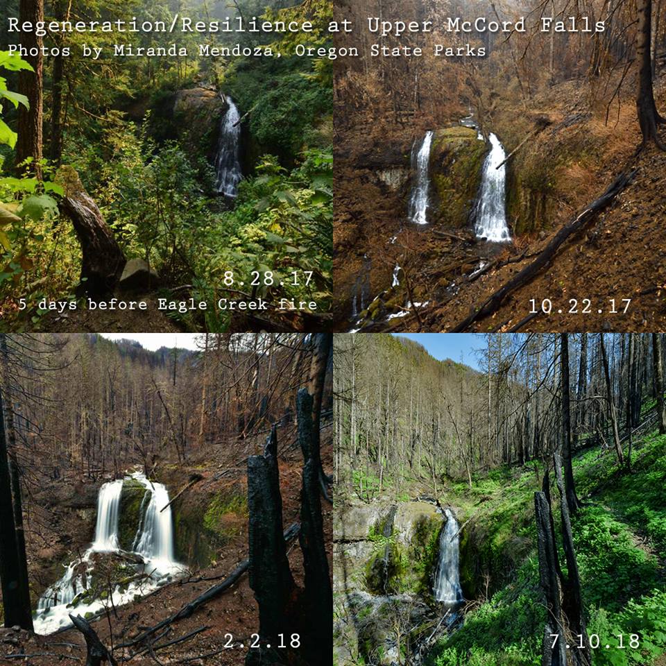
With over 40 miles and 25 trails still closed due to the Eagle Creek fire, there is a lot of restoration work to be done in the 48,000-acre containment area. However, with the combined efforts of several organizations including the United States Forest Service, Friends of the Columbia Gorge, Trailkeepers of Oregon, Pacific Crest Trail Association, the Washington Trail Association and more, several of the most sought-after trails have been re-opened, a bunch re-opening right at the close of 2018.
What Columbia Gorge Hiking Trails Affected by the Eagle Creek Fire Are Now Open?
First a disclaimer: Keep in mind that the Forest Service has reopened the trails but warns hikers to enter at their own risk because of hazardous conditions including loose rocks, falling trees and limbs, debris flows, and damaged or blocked trails. Less experienced hikers should consider alternatives to hikes in this are while these conditions exist, and all hikers with dogs or small children should consider safer alternatives.
Angel’s Rest: Now Open
Angel’s to Devil’s Rest Loop: Now Open
Multnomah – Wahkeena Falls Loop: Now Open
Multnomah Falls: Now Open
Multnomah Falls to Devil’s Rest: Now Open
Multnomah Falls to Larch Mountain via Oneonta Trail: Now Open
North Lake: Now Open
Wahkeena Falls: Now Open
Horsetail, Ponytail & Triple Falls: Now Open
Larch Mountain Crater Loop: Now Open
Toothrock: Partially open: Parking here and the paved Historic Columbia River Highway State Trail is open. Gorge trail #400 is closed.
For a more comprehensive look at what is open or closed due to the fire or winter access limitations you can cross-reference lists from the Forest Service (updated November 13, 2018 and Friends of the Gorge (should be fairly up-to-date, last opening updates happened on December 14, 2018).
Here’s another useful map (but not up-to-date. Last updated June 15, 2018).
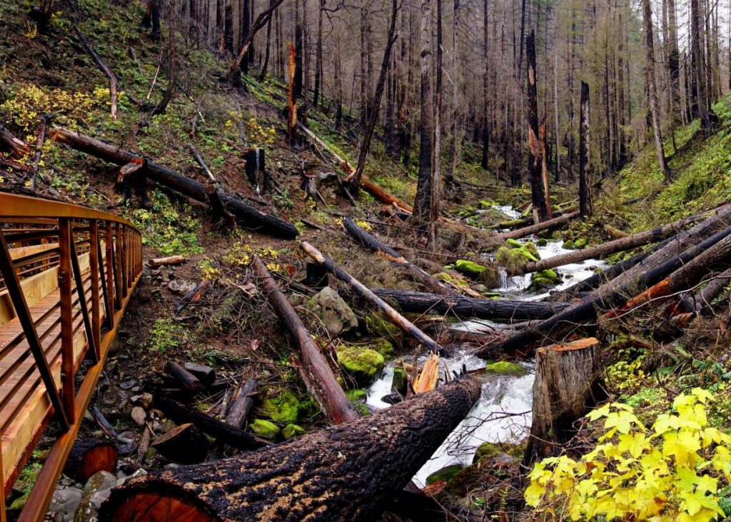
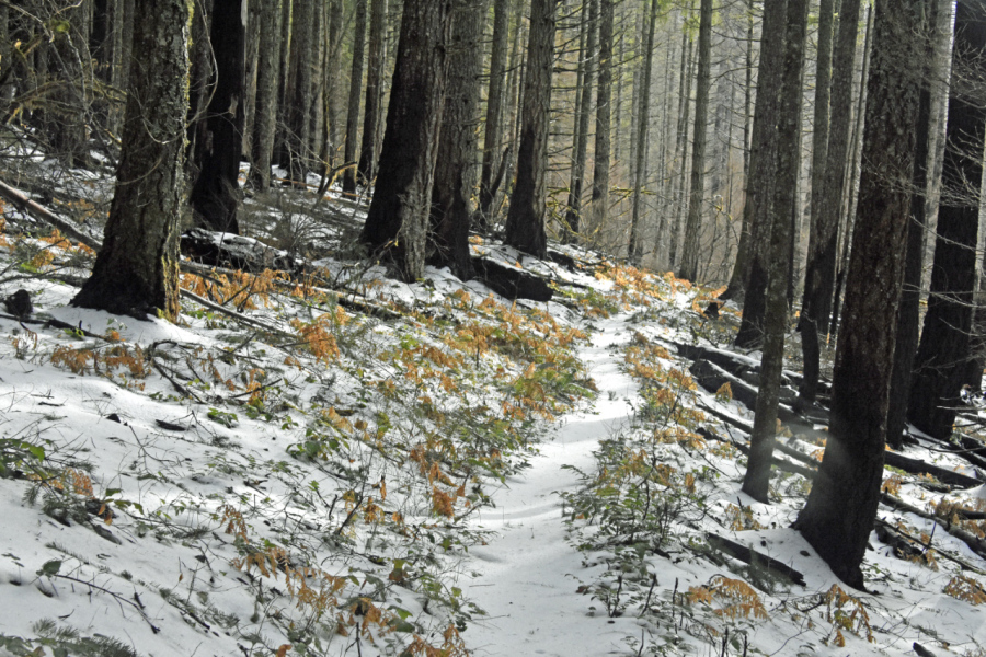
According to one Friends of the Gorge Trailhead Ambassador’s notes, “Perhaps the best (and safest) trail that is now open is the Herman Creek Trail to Casey Camp. See the details above. The area along Herman Creek suffered a “moderate burn” in most places. It is a good trail to get a visual impression of the effects of the fire, the work required to clear trails in the burn area, and early recovery of the forest.

