
In the second half of January, a large chunk of cliff wall on the Lower Lower White Salmon River broke off and fell into the river, providing continuing evidence that the White Salmon River is still evolving after the removal of Condit Dam. This landslide occurred on the first major cliff wall boaters encounter when paddling the Lower Lower White Salmon River, just downstream of Northwestern Park and the cabins. We have had a number of people contact us to ask about it, so we’ll try to round up the information we have.

In this image, taken with my phone, you can see the copper colored wall that has been exposed and the pile of debris in the river.
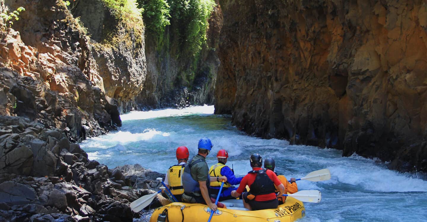
I first saw the rock fall on January 25th. I was walking the re-planted section of land downstream of Northwestern Park with a group of people gathered to provide advice and input for the development of a future walking trail in this area. As we approached the most downstream part of the walkable section of land, we could see the first large cliff wall that paddlers encounter on river right (about 1/4 mile upstream of the confluence of Mill Creek). It was obvious that a large chunk of the wall had collapsed into the river. This was the first time any of us had seen the rock slide. I had paddled the Lower Lower about a week earlier, and the rock fall was not there. As you can see from the photos, a large section of the cliff collapsed.

This is a shot of the cliff wall last Fall, before the collapse. Hey – that’s me guiding the raft.
According to a site report forward by Russ Howison with PacifiCorp, the rock slide was first reported by a cabin owner on Saturday, January 19th. This is how the site report describes the rock fall:
“Inspected reported rockfall at the rock cliff on river right opposite Location 4. Rockfall was reported by Cabin 36 owner as having occurred on Saturday 01-19-2014. The rockfall does not appear to present any immediate danger to existing cabins or infrastructure. Several effects of the rockfall were observed. An area of approximately 70 feet horizontally by 80 feet vertically was loosened and fell to the river forming a talus slope reaching one half way across the river. The talus now has the effect of directing the thalweg of the river directly into the engineered log jam at the mouth of the unnamed creek in Location 4. It appears the action of the rockfall caused a wave to run up the opposite bank for approximately 30 feet. The logjam is being vibrated by the redirected current. The rockfall reaches up above the cliff face into the forested landscape above, several large firs are askew at the head of the rockfall. Lake View road is approximately 180-feet above the head of the rockfall.”
It’s hard to know exactly what caused the landslide. Steve Stampfli does a great job providing some explanations in his post “Landslide“, on the blog White Salmon Restored: a Timelapse Project. He writes:
“Such an event obviously leads to speculations of cause. Three ideas all relate to the current absence of Northwestern Lake. First, the cliff rock was buoyed by reservoir water prior to 2010. Since the weight of rock is much less underwater, the downward and outward forces that can lead to slope failures are much higher now that the reservoir is drained. Second, it’s possible that water in the hillside is still adjusting to the reservoir’s absence, and hydro-static forces once balanced by the pooled water may still be pushing the rock outward. Third, the rock face is now subject to freezing and thawing that can pry and destabilize the rock.”
At the moment, I have not heard that the rockslide, or resulting rock pile in the river, poses any serious obstruction to kayaking or rafting on the White Salmon River. However, there are quite a few trees hanging off the cliff wall just above the section that broke away. Combine that with our recent freeze-thaw cycles, and it is easy to foresee additional wood ending up in the river. Obviously, the area is somewhat unstable, so keep an eye out if you’re paddling the Lower Lower White Salmon River.
Author Todd Collins lives on the White Salmon River in BZ Corner and works year round for Wet Planet.